Guide · Two oceans
Debunking the myth: do two oceans really meet at Cape Agulhas?
People ask us where do two oceans meet — Cape Agulhas or Cape Point? Here is the honest answer, and why you will not see a line in the water at either.
By Madelaine & family · 15 September 2026 · 7 min read
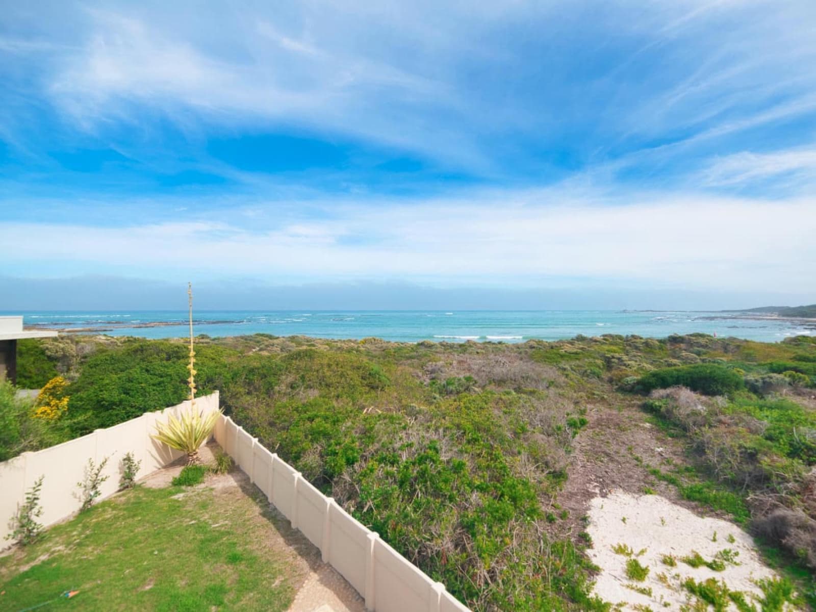
Every summer someone stands on our balcony, looks out to sea, and asks the same question. So where is it? Where do they meet?
They mean the line. The one where the Indian Ocean stops and the Atlantic begins. Most people arrive expecting to see it — a change of colour, a seam in the water, something. We have been coming here since 1991 and we have never seen it. Nobody has. It is not there. But that does not mean the story is false. It just means the true version is more interesting than the postcard one.
20°E
the official dividing line
Runs due south from Cape Agulhas to Antarctica.
1953
when the line was fixed
By the International Hydrographic Organization, in Monaco.
55 km
further south than Cape Point
About half a degree of latitude. Not close.
Where the myth comes from
Cape Point is an hour from Cape Town. It has cliffs, a funicular, a restaurant and a steady stream of tour buses. For decades the signs and the tour guides there said the two oceans meet below you. It sounds right. The place looks like the end of the world.
It is not, though. Cape Point sits on the Atlantic side, roughly 150 km north-west of us in a straight line. In 2001 the argument got heated enough to make the Mail & Guardian, with the Agulhas tourism office calling the Cape Point claim “completely fallacious” and Cape Town Tourism defending it. These days even South African Tourism’s own website admits the map boundary is at Agulhas. Old habits are slow to die, and the buses still go to Cape Point.
Then there is the photo. You have probably seen it: a boat on dark blue water next to a wall of pale milky water, with a caption about two oceans that refuse to mix. That picture was taken in the Gulf of Alaska in 2007 by a scientist on a research trip. The pale water is meltwater from glaciers, full of fine rock dust. It mixes eventually. It is not two oceans, and it is definitely not here.
The official answer: a line at 20 degrees east
Oceans do not come with edges, so in 1953 the International Hydrographic Organization drew some. Its rule for the Indian Ocean’s western edge is one sentence long: from Cape Agulhas at 20° east, southward along that meridian to Antarctica. Everything west of that line is Atlantic. Everything east is Indian. The South African Navy’s hydrographers use the same line. So does every serious atlas.
Why Agulhas? Because it is the southernmost point of the continent, and the meridian that runs through it is a round number. That is all. It is a convention, the way a border between two farms is a convention. The sheep do not notice it. Neither does the water.
What the water is actually doing
This is the part the postcards skip, and it is better than the postcard.
Down the east coast of Africa runs the Agulhas Current — warm, fast, one of the strongest currents on the planet. Up the west coast creeps the Benguela, cold water pulled up from the deep by the wind. Somewhere south of us they meet. But they do not meet at a line. The Agulhas Current gets to the bottom of Africa, runs out of coast, and turns back on itself in a huge loop, hundreds of kilometres across. Scientists call it the retroflection. The loop sits roughly between 16° and 20° east — sometimes west of us, sometimes right on the meridian — and it shifts with the seasons and the wind.
Five or six times a year the loop pinches off a ring of warm Indian Ocean water, and that ring drifts west into the Atlantic at a few kilometres a day. So a bit of the Indian Ocean is always leaking into the Atlantic, and the place where warm meets cold is never in the same spot two weeks running. That is the true meeting of the oceans: not a seam, a slow churn out past the horizon.
You will feel it before you see it. Swim at Struisbaai on one day and Suiderstrand on the next and the sea can be a different temperature. Locals will tell you the water “turned” overnight. That is the mixing zone wandering past.
Cape Agulhas vs Cape of Good Hope: which one should you visit?
Honestly? Both, if you have the time. They are not the same kind of place.
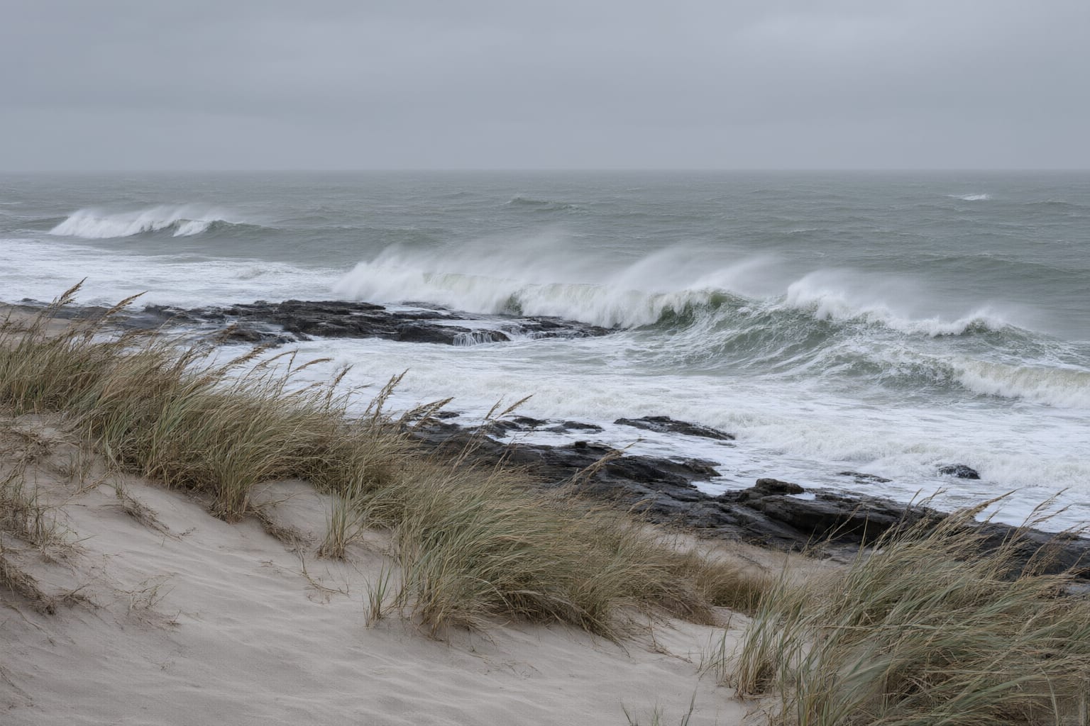
Cape Point is dramatic. Tall cliffs, big surf, baboons in the car park, a proper day out from the city. If you want a photograph that looks like the edge of a continent, go there.
Agulhas is flat. The rocks slope gently into the sea, the wind blows straight off Antarctica, and the tip itself is a stone marker and a map on the ground. Some people are underwhelmed. We understand that. But it is the real place — the actual bottom of Africa, the actual line on the actual chart — and it is quiet. Most afternoons you can have it to yourself. That is the trade: Cape Point has the drama, Agulhas has the truth.
How to stand on the line
- 01
The Map of Africa at the tip
A stone map of the whole continent, 30 metres round, laid out at the southernmost point. The oceans are named on it. It is the closest thing to a line you will get.
- 02
The boardwalk from the lighthouse
An easy walk along the rocks from the lighthouse car park to the marker. Flat, wind-blown and completely different from the cliffs at Cape Point.
- 03
The walk from Suiderstrand
Our side. About 5 km by road, or a longer coastal walk east from the reserve. You arrive at the marker with sand on your feet and nobody else around.
- 04
Late afternoon, after the cars have gone
The tip empties out after four. Sit on the rocks, look south, and remember there is nothing between you and Antarctica but water.
One more myth: the name
People assume “Agulhas” has something to do with the currents. It does not. It is Portuguese for needles. Around the year 1500, sailors noticed that a compass needle here pointed almost exactly at true north, with no correction needed. That was rare and useful, so the cape got named for it. The needle has long since drifted; the name stayed.
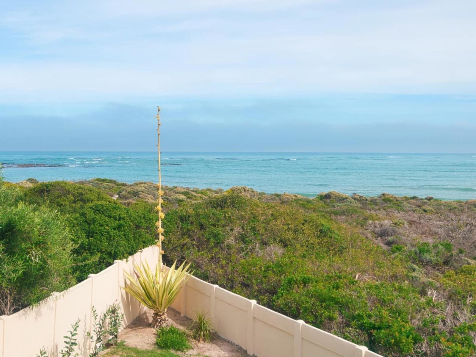
One last thing worth knowing: Suiderstrand sits just west of the tip, a few kilometres short of 20°. So when you swim in front of the reserve, you are, on paper, in the Atlantic. Walk east past the marker and you cross into the Indian Ocean without getting your feet any wetter. It is a good thing to tell children. It is a better thing to tell adults who were sure it was Cape Point.
Frequently asked questions
Do two oceans really meet at Cape Agulhas?
Officially, yes. The International Hydrographic Organization draws the line between the Atlantic and Indian oceans at 20° east, and that line touches land at Cape Agulhas. You will not see a line in the water, though — there is none.
Is it Cape Agulhas or Cape Point where the oceans meet?
Cape Agulhas. Cape Point is about 150 km to the north-west and sits on the Atlantic side. Even South African Tourism's own website says the map boundary is at Agulhas.
Can you see the two oceans meeting?
No. The famous photo of two colours of water side by side is glacier meltwater in the Gulf of Alaska, not South Africa. Here the warm and cold water mix over hundreds of kilometres of open sea.
Is Cape Agulhas the true southernmost tip of Africa?
Yes — about 55 km further south than the Cape of Good Hope. There is a survey marker and the Map of Africa monument on the exact spot.
Why is it called Agulhas?
Agulhas means needles in Portuguese. Around 1500 a compass needle here pointed almost exactly at true north, which sailors found remarkable. The name has nothing to do with the two oceans.
Start the conversation
Stay on the line
The southernmost tip is 5 km from the stoep. Gans-te-Ver sleeps 10 inside the Suiderstrand reserve — 5 en-suite bedrooms and, officially, the Atlantic in front of the house.